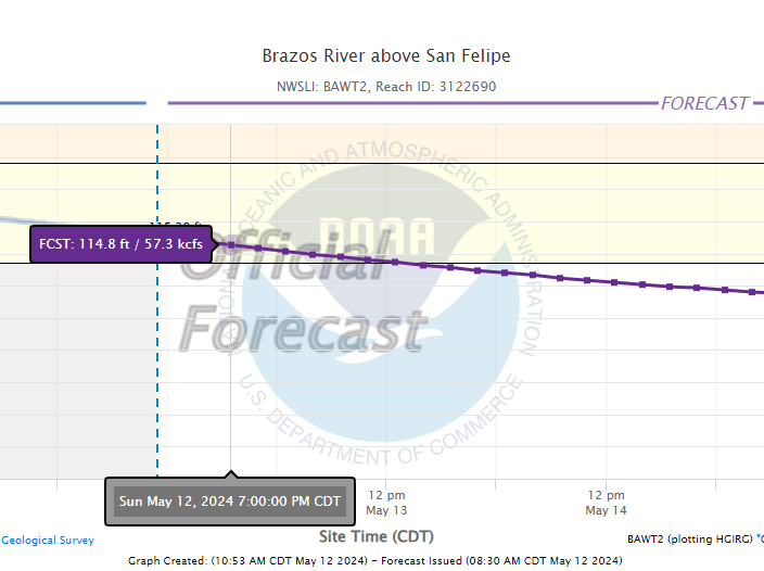
Curious why river gauge depth charts vary widely? Let’s uncover the answers as we explore a game-changing shift in elevation measurement techniques.
The question: Why is the NOAA transitioning to Above Sea Level Sensors for Height Measurements
In the era of smartphone elevation apps, the quest for accuracy in professional spheres like flood insurance certification and coastal planning has never been more crucial. This necessity is magnified in low-lying coastal regions, where understanding water flow and flood risks is paramount.
Enter NOAA’s National Geodetic Survey (NGS), the guardian of a nationwide coordinate system defining key geographical parameters across the United States. Central to this system is the vertical datum, providing precise elevation measurements crucial for decision-making. Traditionally, elevation was determined using estimated stream depths, a method prone to inaccuracies.
Recognizing the limitations of this approach, NGS embarked on the groundbreaking GRAV-D project. Spanning 16 years, GRAV-D aimed to revolutionize elevation measurement by transitioning to sensors providing above-sea-level readings. This shift promises unprecedented accuracy, with heights precise to within an inch for most locations nationwide.
The benefits of this transition extend beyond mere precision. It’s projected to yield approximately $4.8 billion in social and economic benefits over 15 years, revolutionizing floodplain mapping, coastal management, and emergency planning. Moreover, by incorporating ground and air-based gravity measurements, NGS ensures the dynamic nature of Earth is accounted for, maintaining accuracy over time.
This move marks a seismic shift in how we perceive and utilize elevation data. By embracing above-sea-level sensors, NGS paves the way for a more resilient and informed approach to coastal development, safeguarding communities against the threats of rising sea levels and natural disasters.
Check out this Article published by the NOAA for a better understanding:

